
Using Globes and Maps - PowerPoint PPT Presentation
1 / 12
Title:
Using Globes and Maps
Description:
Mercator Projection. Positive Aspects. Land shapes and true directions are easy to see and use ... with less distortion than Mercator and is easier to look ... – PowerPoint PPT presentation
Number of Views:447
Avg rating:3.0/5.0
Title: Using Globes and Maps
1
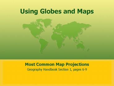
Using Globes and Maps
- Most Common Map Projections
- Geography Handbook Section 1, pages 6-9
2
Map Projections
- Imagine taking the whole peel from an orange and
trying to flatten it on a table. - You would either have to cut it or stretch parts
of it. - Map makers have the same problem!
3
- When the Earths surface is flattened, big gaps
open up. To fill these gaps mapmakers stretch
parts of the earth. Therefore, mapmakers choose
to show either - The correct shapes of places, or
- The correct size of places
- It is impossible to do both!
4
- As a result mapmakers have developed different
projections, or ways of showing the earth on a
flat piece of paper. Each projection has its
strengths and weaknesses. - The types of projections are
- Mercator
- Goodes Interrupted
- Robinson
- Winkel Tripel
5
Mercator Projection
- Positive Aspects
- Land shapes and true directions are easy to see
and use
- Negative Aspects
- Continent size and distances on the map are
distorted. - For example Alaska appears to be large
- Uses
- Good for sea travel. It shows true directions.
6
Lines of latitude are very straight as are
longitude.
7
Goodes Interrupted
- Uses
- Good for comparing land data about the continents
- Positive Aspects
- Continents are close to their real size and true
shape
- Negative Aspects
- Distances, especially in oceans are less accurate
8
Strange Shape
9
Robinson
- Uses
- Many atlases use this type of map easy to read
- Positive Aspects
- Size and shape is shown with less distortion than
Mercator and is easier to look at than Goodes
Interrupted
- Negative Aspects
- North and South Poles are not so accurate due to
distortion
10
latitudes are straight and longitudes are curved
11
Winkel Tripel
- Uses
- Geographic Society uses this type of map
- Positive Aspects
- This gives a good overall view of continent
shapes and true sizes. There is less distortion
than Robinson
- Negative Aspects
- Some distortion at the poles but less than
Robinson
12
latitudes and longitudes are curved
Recommended
CrystalGraphics Presentations


