
Geographic Information System Mapping & Surveying - PowerPoint PPT Presentation
Title:
Geographic Information System Mapping & Surveying
Description:
Geographic Information System (GIS) mapping and surveying is the use of GIS technology to collect, manage, analyze, and visualize spatial data. This data can be used to create maps, charts, and other visualizations that can help people understand and make decisions about the world around them. – PowerPoint PPT presentation
Number of Views:12
Title: Geographic Information System Mapping & Surveying
1
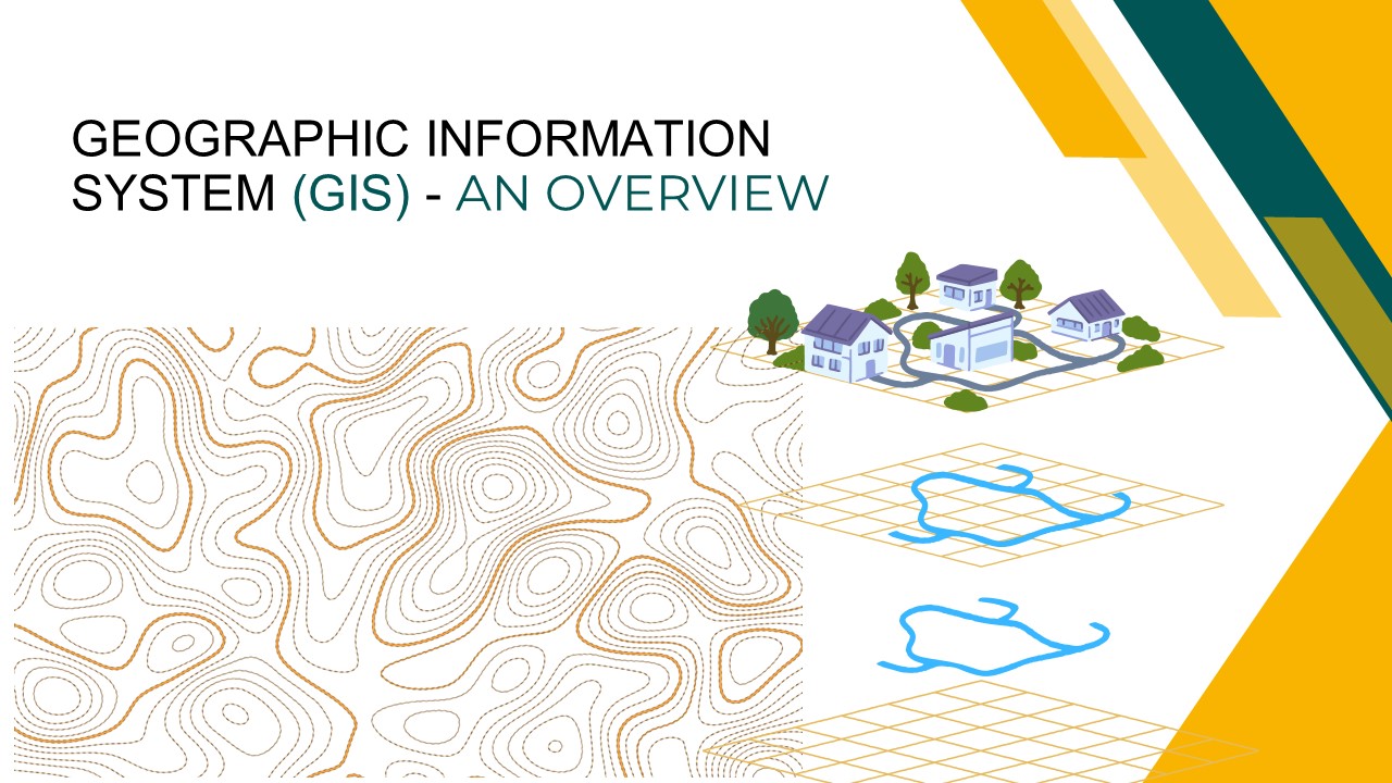
GEOGRAPHIC INFORMATION SYSTEM (GIS) - AN OVERVIEW
2
Introduction
- Geographic Information System (GIS) is a powerful
tool for managing and analyzing spatial data. - In today's data-driven world, GIS plays a crucial
role in various fields. - This presentation aims to explore GIS, its
components, history, applications, and future
trends.
3
What is GIS?
GIS stands for Geographic Information System.
It's a system designed to capture, store,
analyze, and visualize spatial or geographic
data. Components include data (spatial and
attribute), software, hardware, people, and
methods. GIS helps us understand patterns, make
informed decisions, and solve complex problems.
GIS services aim to automate the GIS data
generation and conversion to BIM modeling format
for effective centralized construction
management.
4
History of GIS
The history of geographic information systems
(GIS) can be traced back to the early 1960s, when
computers were first being used to create and
analyze maps. One of the earliest pioneers of GIS
was Roger Tomlinson, a Canadian geographer who
developed the Canada Geographic Information
System (CGIS) in the early 1960s. CGIS was used
to store and analyze data about land use and
natural resources in Canada.
- Today, GIS technology is used in a wide range of
fields, including - Environmental management
- Urban planning
- Transportation
- Agriculture
- Business
- Education
- Public safety
- Military
5
GIS technology is helping people to make better
decisions about how to use and manage our
planet's resources.
Here is a timeline of some of the key events in
the history of GIS
1969
1981
1990
1963
1965
2000s
Roger Tomlinson develops the Canada Geographic
Information System (CGIS)
Howard Fisher develops the SYMAP computer mapping
software program at the Harvard Laboratory for
Computer Graphics
ESRI releases ARC/INFO, the first commercial GIS
software product
GIS technology is widely adopted by businesses,
governments, and non-profit organizations
GIS technology continues to evolve and become
more widely used
ESRI is founded
GIS technology is a powerful tool that can be
used to solve a wide range of problems. It is
likely to continue to play an increasingly
important role in our society in the years to
come.
6
Key Components of GIS
- Data Spatial data (location) and attribute data
(information about locations). - Software Best GIS software like ArcGIS, QGIS, ,
and open-source alternatives. - Hardware Computers, GPS devices, remote sensing
equipment. - People GIS analysts, cartographers, data
scientists, and experts in various domains. - Methods Analytical techniques and methodologies
for spatial analysis.
7
Types of Spatial Data
- Vector Data Represents points, lines, and
polygons.
- Raster Data Composed of grids or pixels.
- Examples Roads, buildings (vector), satellite
imagery (raster).
8
Remote Sensing Data collected from satellites,
drones, or aerial photography.
Open Data Sources Government datasets,
crowd-sourced data.
GIS Data Sources
Data Acquisition and Integration Combining data
from various sources for comprehensive analysis.
Surveys GPS data and ground surveys.
9
GIS Applications
Environmental Management Monitoring ecosystems
and natural resources.
Transportation Optimizing routes and traffic
management.
Urban Planning Designing and managing cities.
Public Health Disease mapping and healthcare
planning.
Disaster Management Preparedness, response, and
recovery efforts.
Agriculture Precision farming and crop
monitoring.
10
Case Study 1 Urban Planning
- How GIS is used in urban planning.
- Example Optimizing public transportation routes
in a city. - Benefits Improved efficiency, reduced
congestion, and lower environmental impact.
11
Case Study 2 Environmental Management
Case study Tracking deforestation in the Amazon
rainforest.
Impact Identifying deforestation hotspots and
guiding conservation efforts.
GIS applications in environmental conservation.
12
GIS Analysis and Tools
Spatial Analysis Techniques Buffer analysis,
overlay, proximity analysis.
GIS Tools GIS software provides numerous tools
for analysis.
Example Using buffer analysis to assess the
impact of a new development on the environment.
13
Spatial Visualization
Cartographic Principles Creating clear and
effective maps
Visualization Techniques Using colors, symbols,
and labels to convey information.
Example A map displaying population density in a
city.
14
Future Trends in GIS
- AI and Machine Learning Automating data analysis
and prediction. - IoT Integration Collecting real-time data from
sensors. - Augmented Reality Enhancing navigation and
visualization. - 5G and Beyond Faster data transmission for GIS
applications.
15
Challenges and Limitations
- Data Accuracy and Quality Garbage in, garbage
out. - Privacy and Security Protecting sensitive
location data. - Cost and Resources Investment required for
infrastructure and training. - Technological Challenges Managing and analyzing
vast datasets.
16
Conclusion
- Recap of key points GIS components, history,
applications, and future trends. - Highlight the critical role GIS plays in
decision-making and problem-solving.
17
THANK YOU
Recommended
CrystalGraphics Presentations


