
Simulation DEMS PowerPoint PPT Presentation
1 / 5
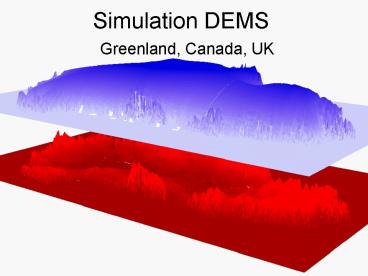
Title: Simulation DEMS
1
Simulation DEMS
- Greenland, Canada, UK
2
DEM Analysis
- Use available 3-d surface and bottom topography
data for use in simulations - Limited, finely gridded 3-d ice sheet data
- Relict basal topography data available from SRTM
- Requirement to reconstruct a relict surface
topography
3
Ungava Bay
SRTM
Jannson and others, 2003
4
McClintock Ice Stream
Dubawnt Lake
Stokes and Clark, 2003
Stokes and Clark, 2002
5
Borrowdale Fels, UK CARSIMA Selected Study Area
Recommended
