OceanMAPS and the Navy - PowerPoint PPT Presentation
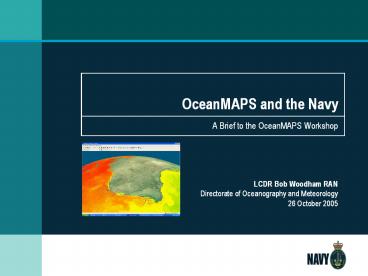
OceanMAPS and the Navy
OceanMAPS and the Navy. A Brief to the OceanMAPS Workshop. LCDR Bob ... Uploads graphics to intranet. ROAM Data Flows. Issues. Frequency of OFAM runs daily ? ... – PowerPoint PPT presentation
Title: OceanMAPS and the Navy
1
OceanMAPS and the Navy
- A Brief to the OceanMAPS Workshop
LCDR Bob Woodham RAN Directorate of Oceanography
and Meteorology 26 October 2005
2
Scope
- Applications of BLUElink outputs
- ROAM
- Operating cycle
- System architecture and data flows
- Issues
3
Applications of BLUElink Outputs
- Acoustic Applications
- Temperature and Salinity gt Sound Speed
- Mixed Layer Depth gt frequencies affected
- Oceanographic features gt fronts, eddies
- Passage Planning
- Surface and subsurface currents
- Tidal streams (ROAM)
- Weather Forecasting
- High resolution
- Outside Australia
4
Acoustic Applications
- T, S data ingested into sonar range prediction
app - Features used in graphical products
5
Passage Planning
- Current data provided graphically
6
ROAM
- Ship requests ROAM oceanic data
- FWOC sets up ROAM over requested area
- ROAM runs, monitored by FWOC
- Run completes, FWOC QCs data
- Sends data file(s) to ship
- Uploads graphics to intranet
7
ROAM Data Flows
8
Issues
- Frequency of OFAM runs daily ?
- Range of ROAM forecast - gt 3 days
- Access to BRAN data for testing
- Approval of system architecture
- Integration with sonar range prediction
application
9
OceanMAPS and the Navy
- A Brief to the OceanMAPS Workshop
LCDR Bob Woodham RAN Directorate of Oceanography
and Meteorology 26 October 2005
PowerShow.com is a leading presentation sharing website. It has millions of presentations already uploaded and available with 1,000s more being uploaded by its users every day. Whatever your area of interest, here you’ll be able to find and view presentations you’ll love and possibly download. And, best of all, it is completely free and easy to use.
You might even have a presentation you’d like to share with others. If so, just upload it to PowerShow.com. We’ll convert it to an HTML5 slideshow that includes all the media types you’ve already added: audio, video, music, pictures, animations and transition effects. Then you can share it with your target audience as well as PowerShow.com’s millions of monthly visitors. And, again, it’s all free.
About the Developers
PowerShow.com is brought to you by CrystalGraphics, the award-winning developer and market-leading publisher of rich-media enhancement products for presentations. Our product offerings include millions of PowerPoint templates, diagrams, animated 3D characters and more.


