USFS - Region 6 Imagery Program - PowerPoint PPT Presentation
Title:
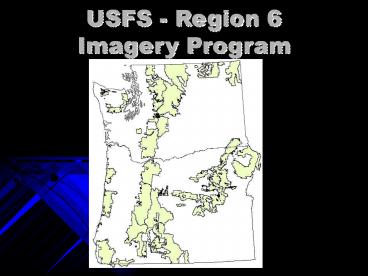
USFS - Region 6 Imagery Program
Description:
meter buy-up for entire. two states. Used extensively by the. field ... projects contour. mapping of road. material sources. Region 6. FY09 Program of Work ... – PowerPoint PPT presentation
Number of Views:49
Avg rating:3.0/5.0
Title: USFS - Region 6 Imagery Program
1
USFS - Region 6 Imagery Program
2
USFS - Region 6 Imagery Program
3
USFS - Region 6 Imagery Program
Landsat TM 25 scenes downloaded from MRLC
Landsat Science collection
4
Landsat TM mosaics
5
USFS - Region 6 Imagery Program
NAIP Washington 2006 Oregon 2005 ½ meter
buy-up for entire two states Used extensively by
the field and GIS staffs, and by the
remote sensing staff (texture)
6
USFS - Region 6 Imagery Program
SPOT, IKONOS, QuickBird nothing purchased in
2008 Resource Photography no new acquisitions
one set of reprints ordered (Siuslaw
NF) Photogrammetry no projects in 2008
7
Region 6 Special Purpose Photography
8
Region 6 SPP 2008
- Prints Delivered 3524
- Prints Scanned 3373
- Flight Line Miles 1188
- Average Scale 16900
- Number of Projects 78
9
Region 6 SPP
10
Region 6 SPP
FY09 Program Of Work
Collecting project requests until Dec 1. FY09
budget of 125,000.
11
Region 6FY09 Program of Work
- Four orthorectification projects
- Two on Olympic NF for assisting in
- timber planning
- Two on Willamette NF for
- restoration planning
12
Region 6FY09 Program of Work
Two photogrammetry projects contour mapping
of road material sources
13
Region 6FY09 Program of Work
Major LiDAR acquisitions In Washington and
Oregon Puget Sound Lidar Consortium Cyan
completed Oregon Lidar Consortium Grey
planned Blue contracted Region 6 Red
completed Three major acquisitions on NF lands
totaling over 800 square miles. Budgeted 19
person-weeks for LiDAR processing of NF lands


