
Remote Sensing in the National Forest Inventory PowerPoint PPT Presentation
1 / 7
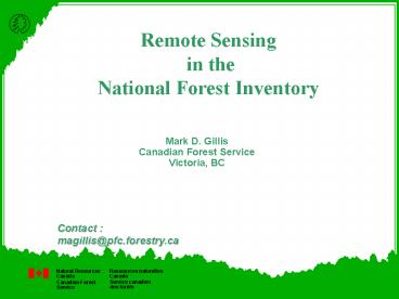
Title: Remote Sensing in the National Forest Inventory
1
Remote Sensing in the National Forest Inventory
Mark D. Gillis Canadian Forest Service Victoria,
BC
Contact magillis_at_pfc.forestry.ca
2
National Forest Inventory Design
- Photo Plots Provides estimate of basic
attribute data - Aerial photography
3
National Forest Inventory Design
- Photo Plots Provides estimate of basic
attribute data - Aerial photography
- Ground Plots Provide additional information
4
National Forest Inventory Design
- Photo Plots Provides estimate of basic
attribute data - Aerial photography
- Ground Plots Provide additional information
- Satellite data Periodic basis - complete
coverage - Confirm/Verify the inventory
- Assess major change (harvest)
- Extend the inventory
5
National Forest Inventory Design
- Photo Plots Provides estimate of basic
attribute data - Aerial photography
- Ground Plots Provide additional information
- Satellite data Periodic basis - complete
coverage - Confirm/Verify the inventory
- Assess major change (harvest)
- Extend the inventory
- Regular basis - sample coverage
- Subtle changes (Partial cuts)
- Special studies
6
National Forest Inventory Reporting
Other Information - Provincial data - Remote
sensing - Scientific data - Policy information
NFI - Photo Plots - Ground Plots -
Satellite data - Auxiliary information
25 CI
Kyoto, LCCF
FAO/FRA
Nat/Prov
7
NFI Needs of Remote Sensing
- Initial capture of information
- surrogate for photography
- Confirmation/Verification
- confirm inventory
- check for errors in interpretation
- Extend the inventory
- stratification
- extension of plot data (Tomppo, Kryging, etc)
- Change
- major/subtle
- Other
Recommended
