Create a database of volcanoes including age, axes lengths PowerPoint PPT Presentation
1 / 11
Title: Create a database of volcanoes including age, axes lengths
1
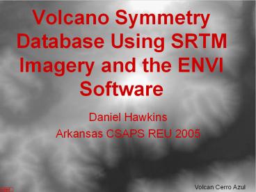
Volcano Symmetry Database Using SRTM Imagery and
the ENVI Software
- Daniel Hawkins
- Arkansas CSAPS REU 2005
Volcan Cerro Azul
2
Project Purpose
- Find constraints on volcano symmetry (i.e.
morphology, age, relative plate motion). - Create a database of volcanoes including age,
axes lengths, location, and relative symmetry. - Prologue to solar system volcanoes database to
find similarities among volcanoes on other
celestial bodies.
3
The SRTM Mission
- Flew on Endeavor in 2000 for 11 days.
- Created high-quality images of most of the Earth,
with less distortion than aerial photography. - Available in 90 meter resolution throughout the
world, 30 meter resolution in the USA.
4
Unedited SRTM Image
- SRTM Images come in 1 degree tiles.
- All images are grayscale.
- Images are opened with ENVI 4.1 geographic
imaging software. - ENVI allows geographic coordinates, allowing
volcanoes to be found easily. - This image is a tile 24 South, 68 West.
- Area in red box is Volcan Laguna Verde in Chile.
5
Color Image
- Used to show better detail.
- Allows for color saturation function to find
semi-major and semi-minor axes of volcano in
SigmaScan. - Allows for more accurate geographic coordinates
when switching between ENVI and SigmaScan. - This image is a close up of Volcan Laguna Verde
in Chile.
6
ENVI Software
- ENVI is a geographic imaging software.
- Geographic coordinates are used to find specific
areas on the 1 degree tiles. - Allows conversion from grayscale to color based
on preset mathematical functions. - Outputs image in multiple formats for further
study. - Negatives Only uses best fit models for
measuring odd shapes. Cannot accurately measure
angles other than north-south or east-west.
7
SigmaScan
- Allows use of color saturation to measure
distances on oddly shaped objects. - Allows measure of distances on surfaces other
than north-south or east-west. - Sends information directly into the database.
- Negatives Cannot read geographic coordinates or
elevation. Cannot open base file from the USGS
server.
8
The Database
9
Application
- Currently, study has been done of 19
stratovolcanoes from Chile. - Plate motion azimuth versus the azimuth of the
asymmetry of the volcano has been looked at for
correlation. - The histogram shows those 19 volcanoes against
the azimuth of plate motion.
- There is a possibility of correlation of
asymmetry parallel to plate movement, but not a
large enough population to be conclusive.
10
Continuing Work
- Continue adding volcanoes to database. Currently
working with approximately 250. - Add relative plate motions to database, and look
for correlations. - Compare volcano types to find correlations
between type and relative symmetry. - Make a database of extraterrestrial volcanoes and
compare to terrestrial volcanoes. - Add database to World Organization of Volcano
Observatories website for use by other
researchers.
11
Volcano Symmetry Database Using SRTM Imagery and
the ENVI Software.
- Daniel Hawkins
- Arkansas CSAPS REU 2005

