
Remote Sensing - PowerPoint PPT Presentation
Title:
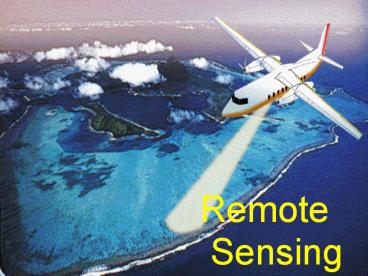
Remote Sensing
Description:
Sensing Remote Sensing Gives us the Big Picture Allows us to see things from the ... The radar summary is stippled so that the image will partially show through ... – PowerPoint PPT presentation
Number of Views:483
Avg rating:3.0/5.0
Title: Remote Sensing
1
Remote Sensing
2
Remote Sensing
- Gives us the Big Picture
- Allows us to see things from the larger
perspective. - Allows us to see things we otherwise might miss.
3
- Definition
- Remote sensing is the science and art of
obtaining information about an object, area, or
phenomenon through the analysis of data acquired
by a device that is not in contact with the
object, area, or phenomenon under investigation.
4
The Need for Remote Sensing
Meteorology Profiling of atmospheric temperature, pressure and water vapor content. Oceanography Measurement of the seas surface temperature, mapping ocean currents and wave energy spectra. Glaciology Mapping the distribution and motion of ice sheets and sea ice, determining the navigability of sea ice.
Geology,Geomorphology Identification of rock type, location of geological faults and anomalies, observing tectonic motion. Topography Obtaining accurate elevation data and referring them to a given coordinate system, production and revision of maps. Agriculture, Forestry Monitoring the extent and type of vegetation cover and its state of health, mapping soil type and determining its water content.
Hydrology Assessing water resources, forecasting meltwater run-off from snow. Disaster Control Warning of sand and dust storms, avalanches, landslides, flooding etc.,monitoring of pollution. Planning Applications Generation of inventories of land use and monitoring changes, assessing resources, performing traffic surveys.
5
Aerial View - The viewer is observing from
above the object. Synoptic View - The
viewer is able to see an object in
relation to other objects. Vertical View - The
sensor is directly overhead. Oblique View - The
sensor is not directly
overhead it is taking the image at an angle.
6
Oblique View of Southern California
7
Two Parts of Remote Sensing
Platform - the device to which the sensor is
attached Sensor - the device that actually
gathers the remotely sensed data
8
Paris, 1858
9
(No Transcript)
10
Pigeon Photographers
11
Actual Pigeon Pictures
12
Post-quake San Francisco,
1906
13
Wilbur Wright and his first aerial photograph of
France.
14
(No Transcript)
15
(No Transcript)
16
(No Transcript)
17
Landsat Satellite
Ox-Bow of the Mississippi
18
High Altitude Platform
19
High Altitude Balloon Platform
20
Landsat sensor array
21
True color film
Infrared film
22
(No Transcript)
23
(No Transcript)
24
(No Transcript)
25
(No Transcript)
26
Landsat Image