GPS for EWB Projects - PowerPoint PPT Presentation
1 / 14
Title: GPS for EWB Projects
1
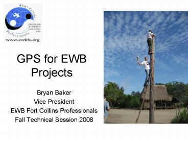
GPS for EWB Projects
- Bryan Baker
- Vice President
- EWB Fort Collins Professionals
- Fall Technical Session 2008
2
(No Transcript)
3
Agenda
- How GPS Works
- Types of GPS
- Applications for GPS
- Obstacles for GPS
4
How does GPS Work?
- 24 Satellites (30 Currently)
- Orbit with a 55 rotation
- 20,200 km orbit
- 1 revolution in 11 hours 58 min
- High Orbit For
- Survivability
- Coverage
- Accuracy
5
GPS Signal Structure
Carrier L1 L2 Frequency 1575.42
MHz 1227.60 MHz Wavelength
19cm 24cm Code Modulation C/A-code L2C
(2005) P(Y)-code P(Y)-code NAVDATA N
AVDATA C/A - Coarse Acquisition Code P - Precise
Code (Y-Code when encrypted) NAVDATA - Satellite
health, satellite clock corrections, and
ephemeris parameters.
6
Trilateration
Distance D Speed of Light x Time of Signal
Flight
Autonomous Position /- 10 m (30 ft) error
(horizontal) /- 15 m (45 ft) error (vertical)
D
7
Code Differential Correction
Corrections can be applied Real-time Via Post
Processing
lt 1m
8
Carrier Phase Correction
- Carrier Wave
- L1 (19cm)
- Superimposed C/A Code
- Each chip is 293m long
Requires
- accurate antenna height
- clear view to the sky
- 5 satellites in view
- within 50km of base station
- synched measurements at base
9
Types of GPS
- Recreational Grade
- Autonomous
- Mapping Grade
- Code Differential
- Survey Grade
- Carrier Phase Differential
10
Recreational GPS
/- 10-15 Meter Accuracy
Applications Finding your car, fishing spot,
campsight, location on Google Earth, etc. Vehicle
Navigation Low accuracy, large scale maps.
11
Mapping GPS
- 2-5 Meters
- 1-2 Meters
- lt Meter
- lt30 CM (Foot)
Requires code differential correction from base
station and software to obtain specified
accuracies.
12
Surveying GPS
- lt1cm accuracy
- Requires Base station and rover receiver.
- Within 100km
13
EWB GPS ApplicationsRecreational Grade
- Supply mapping
- Journey / Trail Mapping
- Reference Point Location
- Google Earth Applications
14
EWB GPS ApplicationsMapping Grade
- Town / Village Maps
- GIS Data Collection
- Utility Mapping
- Hydrographic Mapping
15
EWB GPS ApplicationsSurvey Grade
- Topographic Mapping
- Property boundary location
- As-built for construction
- Construction layout

