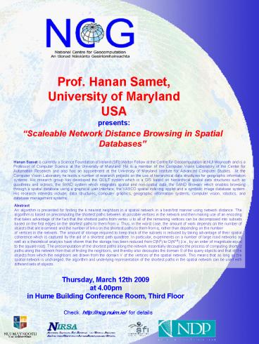
Scaleable Network Distance Browsing in Spatial Databases PowerPoint PPT Presentation
1 / 1
Title: Scaleable Network Distance Browsing in Spatial Databases
1
Prof. Hanan Samet, University of
Maryland USA presents
Scaleable Network Distance Browsing in Spatial
Databases
Hanan Samet is currently a Science Foundation of
Ireland (SFI) Walton Fellow at the Centre for
Geocomputation at NUI Maynooth and is a Professor
of Computer Science at the University of
Maryland. He is a member of the Computer Vision
Laboratory of the Center for Automation Research
and also has an appointment at the University of
Maryland Institute for Advanced Computer Studies.
At the Computer Vision Laboratory he leads a
number of research projects on the use of
hierarchical data structures for geographic
information systems. His research group has
developed the QUILT system which is a GIS based
on hierarchical spatial data structures such as
quadtrees and octrees, the SAND system which
integrates spatial and non-spatial data, the SAND
Browser which enables browsing through a spatial
database using a graphical user interface, the
VASCO spatial indexing applet and a symbolic
image database system. His research interests
include data structures, computer graphics,
geographic information systems, computer vision,
robotics, and database management systems.
Abstract An algorithm is presented for finding
the k nearest neighbors in a spatial network in a
best-first manner using network distance. The
algorithm is based on precomputing the shortest
paths between all possible vertices in the
network and then making use of an encoding that
takes advantage of the fact that the shortest
paths from vertex u to all of the remaining
vertices can be decomposed into subsets based on
the first edges on the shortest paths to them
from u. Thus, in the worst case, the amount of
work depends on the number of objects that are
examined and the number of links on the shortest
paths to them from q, rather than depending on
the number of vertices in the network. The amount
of storage required to keep track of the subsets
is reduced by taking advantage of their spatial
coherence which is captured by the aid of a
shortest path quadtree. In particular,
experiments on a number of large road networks as
well as a theoretical analysis have shown that
the storage has been reduced from O(N3) to
O(N1.5) (i.e., by an order of magnitude equal to
the square root). The precomputation of the
shortest paths along the network essentially
decouples the process of computing shortest paths
along the network from that of finding the
neighbors, and thereby also decouples the domain
S of the query objects and that of the objects
from which the neighbors are drawn from the
domain V of the vertices of the spatial network.
This means that as long as the spatial network is
unchanged, the algorithm and underlying
representation of the shortest paths in the
spatial network can be used with different sets
of objects.
Thursday, March 12th 2009 at 4.00pm in Hume
Building Conference Room, Third Floor
Check http//ncg.nuim.ie/ for details

