Systematic lidar measurements of water vapor at Jungfraujoch - PowerPoint PPT Presentation
1 / 15
Title:
Systematic lidar measurements of water vapor at Jungfraujoch
Description:
J.-D.Bonjour, SI-DGR. 13.4.93. Systematic lidar measurements of water vapor at Jungfraujoch ... J.-D.Bonjour, SI-DGR. 13.4.93. Water vapour Raman lidar at IMAA ... – PowerPoint PPT presentation
Number of Views:25
Avg rating:3.0/5.0
Title: Systematic lidar measurements of water vapor at Jungfraujoch
1
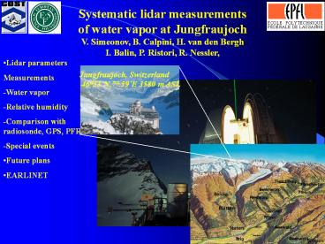
Systematic lidar measurements of water vapor at
Jungfraujoch V. Simeonov, B. Calpini, H. van den
Bergh I. Balin, P. Ristori, R. Nessler,
- Lidar parameters
- Measurements
- -Water vapor
- -Relative humidity
- -Comparison with radiosonde, GPS, PFR
- -Special events
- Future plans
- EARLINET
2
Jungfraujoch multiwavelength lidar
Water vapour Vibrational Raman 408 nm and
387nm Temperature Pure-rotational Raman
Relative humidity profile Aerosol Elastic
channels Aerosol extinction _at_ 355, 532, 1064
nm Aerosol backscatter _at_ 355 and 532 nm Raman
channels Vibrational_at_ 387nm, 408nm,
607nm Pure-rotational excitation l 532 nm 4
channels from Stokes and Anti Stokes
bands Transmitter NdYAG 400 mJ _at_ 1064 nm /100
Hz Receiver 20 cm F/4 Newtonian telescope
3
Water vapor mixing ratio and temperature profiles
Snow white sonde
SRS 400 (hygristor)
4
Lidar and radiosonde (SRS 400) measurements
5
Lidar GPS and PFR integrated water vapor
measurements
6
Water vapor mixing ratio and relative humidity
profiles
Dry Oct. May
Wet and layered
High boundary layer
7
High boundary layer
H2O vertical profiles
H2O horizontal profiles
8
High boundary layer - aerosol
ABL daytime
RL nighttime
9
Water flow rate and water temperature measured
at Massen
August
April
10
Future plans
11
European Aerosol Research LIdar NETwork EARLINET
- GOALS
- Creating a comprehensive database of the vertical
aerosol distribution over Europe - Quantification of the aerosol load, its radiative
properties, sources, sinks and long range
transport
- GOALS
- Creating a comprehensive database of the vertical
aerosol distribution over Europe - Quantification of the aerosol load, its radiative
properties, sources, sinks and long range
transport
Water vapor
12
Water vapour Raman lidar at IMAA-CNR Tito Scalo
(POTENZA) Italy
13
Water vapour Raman lidar at IMAA-CNR Tito Scalo
(POTENZA) Italy
DAY TIME CONDITIONS
5 September 2002
Typical vertical resolutions between 15 m and
300 m. Maximum height range about 5000
m. Statistical errors within 10 up to about
3000 m height and within a maximum of 50 at
5000 m.
14
Water vapour Raman lidar at IMAA-CNR Tito Scalo
(POTENZA) Italy
Typical vertical resolutions between 15 m and
300 m. Maximum height range about 12000
m. Statistical errors within
10 up to about 7000 m height and within a
maximum of 25 at 12000 m.
15
Summary
- Raman lidar water vapor mixing ratio nigthtime
profiles up to 10-11000 m - since 2000
- Raman lidar relative humidity and temperature
profiles since 2002 - Water vapor mixing ratio and temperature profiles
compared with radiosonde measurements - The integrated water vapor column compared with
GPS and PFR data - 4 EARLINET stations ready to contribute to COST
723 action


