Puerto Rico Deployable Radar Network Design; Site Survey PowerPoint PPT Presentation
Title: Puerto Rico Deployable Radar Network Design; Site Survey
1
Puerto Rico Deployable Radar Network Design Site
Survey
J. M. Trabal(1), J. G. Colom(1), S. L.
Cruz-Pol(1), S. M. Sekelsky(2) (1)
University of Puerto Rico, Mayagüez Campus
(2) University of Massachusetts Amherst
Abstract The Microwave Remote Sensing
Laboratory (MIRSL) at the University of
Massachusetts and the Electrical Engineering
Department at the University of Puerto Rico are
collaborating to modify Raytheon marine radars
for use as meteorological radar nodes in a
proposed weather radar network. This will be the
first network to measure lower atmospheric
phenomena in Puerto Rico. The radar consists of
an antenna, a rotator, and a transceiver that
will be placed at a top of a tower or building,
along with a data processing system. This paper
derives two important equations describing the
curved earth effect on beam propagation for radar
range calculation. It also describes the method
used to survey the MIRSL Tilson Farm field site,
and the eleven campuses of the University of
Puerto Rico backbone and justifies their fixed
offset antennas elevation angle and location.
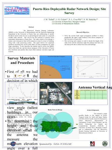
- Research Objectives
- Solve the curved Earth signal propagation problem
to obtain graphically the radars range distance
at the eleven campuses of the University of
Puerto Rico. - Site surveying each campus in order to decide the
height of the radar tower and the inclination
angle the antenna must have, for the beam point
above clutter from trees and buildings.
University of Puerto Rico, Humacao
Campus Satellite IKONOS
Antenna Vertical Angle and Range Results
Radar Antenna Location
- Future Work
- Install the Raytheon marine radar rotator,
transceiver, and antenna and design the data
processing system for testing purposes. - After the survey procedure in all the University
of Puerto Ricos campuses and after completing
the masters degree, I will pursue a PhD program
in Electrical Engineering at the University of
Massachusetts Amherst with the modification of
the Raytheon marine radar as the investigation
topic.
Radar Network Design
Acknowledgements This research is made possible
thanks to the support of NASA Tropical Center for
Earth and Space Studies (TCESS), NASA Faculty
Award for Research in Cloud Microwave
Measurements of Atmospheric Events (FAR-Climmate)
and the NASA Partnership for Spatial and
Computational Research (PaSCoR) at University of
Puerto Rico, Mayagüez Campus and in collaboration
with the Microwave Remote Sensing Laboratory at
University of Massachusetts Amherst.
Sponsored by NASA- TCESS-FAR
µ

