MONITORING LANDSCAPE CHANGE IN SWAN USING HISTORICAL PHOTOGRAPHY - PowerPoint PPT Presentation
1 / 30
Title:
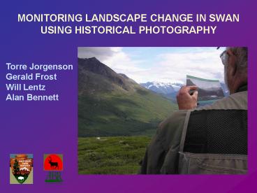
MONITORING LANDSCAPE CHANGE IN SWAN USING HISTORICAL PHOTOGRAPHY
Description:
Estimated photo point locations for historical photography ... Photographs from c. 1917 by Clarence Maynard looking up the Katmai River near Katmai Canyon. ... – PowerPoint PPT presentation
Number of Views:63
Avg rating:3.0/5.0
Title: MONITORING LANDSCAPE CHANGE IN SWAN USING HISTORICAL PHOTOGRAPHY
1
MONITORING LANDSCAPE CHANGE IN SWAN USING
HISTORICAL PHOTOGRAPHY
Torre Jorgenson Gerald Frost Will Lentz Alan
Bennett
2
(No Transcript)
3
(No Transcript)
4
Estimated photo point locations for historical
photography acquired for northern Lake Clark
National Park Preserve.
So far we have compiled 174 photos for LACL
5
Estimated photo point locations for historical
photography acquired for southern Katmai National
Park Preserve. So far we have compiled 265
photos for KATM
6
Shrub expansion on a mountain slope along the
Kijik River. 1929 Photo by Stephen Capps
7
2004
8
Channel migration of the lower Tlikakila River
near Lake Clark. 1909 Photograph by Frank Katz.
9
2004
10
Photograph from 1918 by Jasper Sayre of a
glacier off Mt. Mageik entering the southwest
corner of the Valley of Ten Thousand Smokes.
11
2004 (Gerald Frost)
12
A 1954 aerial photo of the mouth of Little
Glacier Creek entering northern Chinitna Bay
13
- 2004 Ikonos image
14
Photographs from c. 1917 by Clarence Maynard
looking up the Katmai River near Katmai Canyon.
15
2004 (Gerald Frost)
16
Photographs from 1954 by Victor Cahalane near the
terminus of the middle Knife Creek Glacier,
Katmai National Park Preserve.
17
2004 (Gerald Frost)
18
Photographs from 1917 by Robert Griggs of the
south wall of Katmai Canyon, seen from the
southern slopes of Mt. Katmai.
19
2004 (Gerald Frost)
20
Photograph from 1928 by Stephen Capps of mountain
slopes near Two Lakes and the Necons River, LACL
21
2004 (Torre Jorgenson)
22
1929 photograph by Bernard Hubbard of lower
Mageik Creek, Katmai National Park Preserve.
23
2004 (Gerald Frost)
24
1928 photograph by Bernard Hubbard of The Tusk
and Another River, LACL.
25
2004 (Torre Jorgenson)
26
(No Transcript)
27
(No Transcript)
28
(No Transcript)
29
(No Transcript)
30
CONCLUSIONS
Photographs during the last century reveal
- Glaciers have retreated rapidly, but not all.
- Coastline uplift has caused expansion of salt
meadows - Channel migration keeps braided floodplains
mostly barren - Alder shrub expansion and colonization rapid
- Treeline appears to be moving upward
- Alpine tundra showed little change, although
dwarf birch may be more abundant.


