Automatic Vehicle Locator - PowerPoint PPT Presentation
Title:
Automatic Vehicle Locator
Description:
(vehicle tracking) – PowerPoint PPT presentation
Number of Views:8293
Title: Automatic Vehicle Locator
1
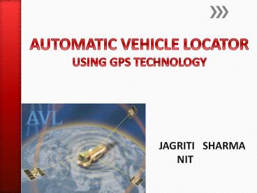
AUTOMATIC VEHICLE LOCATOR USING GPS TECHNOLOGY
JAGRITI SHARMA NIT
2
A few questions
- Is your car or a vehicle stolen and is not
visible among the several cars present? - Do you want to know the arrival of the bus for
which you are waiting? - Are you going alone in a vehicle and your parents
want to track your movements because they are
worried about you? - Does your cargo consists of costly load and you
want to protect them? - Do you want to keep track of the little playing
kids about where they are?
3
The Solution
Automatic Vehicle Locator (AVL)
- What is AVL ?
- An automatic vehicle locator (AVL) is a device
that makes use of the Global Positioning System
(GPS) and enables to remotely track the location
of a vehicle. It is an important tool which
identifies a vehicle with regard to its
geographic position, speed and heading.
4
(No Transcript)
5
(No Transcript)
6
Components of AVL systems
7
(No Transcript)
8
What is GPS?
NAVSTAR, the official U.S. Department of Defense
name for GPS
The Global Positioning System (GPS) is a
satellite-based navigation system made up of a
network of 24 satellites.
9
How GPS works?
Triangulation Collecting of signals
from three or more satellites in carefully
monitored orbit from which the receiver computes
its own spatial relationship to each satellite to
determine its position.
10
(No Transcript)
11
(No Transcript)
12
(No Transcript)
13
(No Transcript)
14
(No Transcript)
15
(No Transcript)
16
(No Transcript)
17
Working of Automatic Vehicle Locator
18
Working of AVL system
1) The satellites are synchronized to emit
encoded navigational information (exact
positioning and exact time). 2) Any vehicle
equipped with a GPS receiver will intercept these
transmissions.
3) Using a simple mathematical formula derived
from triangulation, the receiver is able to
calculate its own longitude, latitude, velocity
and even altitude. 4) Then this information is
transmitted to a central dispatch center.
19
(No Transcript)
20
(No Transcript)
21
(No Transcript)
22
(No Transcript)
23
GPS Receiver
GPS Satellite
Radio System
GPS Antenna
24
Mapping
Maps allow a tangible and understandable view of
a vehicles location.
25
Flaws in the system
- Ionosphere and troposphere delays - The satellite
signal slows as it passes through the atmosphere. - Signal multipath - The GPS signal is reflected
off objects such as tall buildings before it
reaches the receiver, thus increasing the travel
time of the signal. - Receiver clock errors - A receiver's built-in
clock is not as accurate as the atomic clocks
onboard the GPS satellites. - Orbital errors - These are inaccuracies of the
satellite's reported location. - Number of satellites visible - The more
satellites a GPS receiver can "see, the better
the accuracy.
26
Conclusion
Today's GPS receivers are extremely accurate.
They provide a worst case accuracy of 20 meters .
27
References
- http//electronics.howstuffworks.com/gadgets/trave
l/gps4.htm - www.eso.org
- www.pocketgpsworld.com
- www.vehiclelocationsystem.com
- www.seminar-topics.in/Mechanical/Automatic-Vehicle
-Locator - www.gpstracker.ph/tech
28
THANK YOU


