
Agricultural Census - PowerPoint PPT Presentation
Title:
Agricultural Census
Description:
The green shading indicates the years for which data will have to be collected ... at the end of a variable name indicates that the variable is measured in acres ... – PowerPoint PPT presentation
Number of Views:91
Avg rating:3.0/5.0
Title: Agricultural Census
1
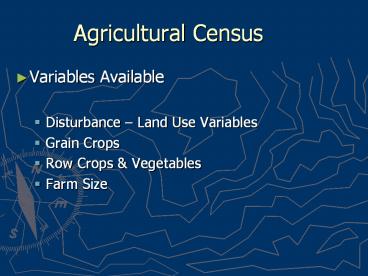
Agricultural Census
- Variables Available
- Disturbance Land Use Variables
- Grain Crops
- Row Crops Vegetables
- Farm Size
2
- There were two sampling frames for the
agricultural census in 1969 and 1974 - One for all farms and one just for those farms
deemed to be commercial in nature (selling
produce of 2500 or more) - As and Cs in the tables denote which universe
applies. The green shading indicates the years
for which data will have to be collected (outside
of Konza and SGS).
3
- The naming conventions of the Great Plains
project made use of underscores and a standard
variable name length. - An underscore _A at the end of a variable name
indicates that the variable is measured in acres - An underscore _Q tells you that the variable
represents a count. - An underscore _V at the end of the variable name
to denote an amount in dollars.
4
- List of variables for the study sites focuses on
land use information. - The total proportion of land in agriculture can
best be tracked by a combination of improved land
in farms (the best approximation of total
cropland in the late nineteenth century) - combinations of cropland and pasture in the early
twentieth century - then total cropland (CRP_XX_A) beginning in 1945.
5
(No Transcript)
6
(No Transcript)
7
(No Transcript)
8
(No Transcript)
9
(No Transcript)
10
(No Transcript)
11
(No Transcript)
12
(No Transcript)
13
(No Transcript)
14
(No Transcript)
15
(No Transcript)
16
(No Transcript)
17
(No Transcript)
18
(No Transcript)
19
- Thinking about outcomes of interest and the
drivers in the dataset that help explain spatial
patterns - Why does farmland shift to western edge of Konza?
- Adding data from supplementary datasets
- Weather data from VEMAP modeling of instrumental
weather records fitted to county boundaries - STATSGO soils data fitted to county boundaries
with levels of sand, silt, clay and depth of A
layer.
20
VEMAP
- Modeled from instrumental record, summarized to
county boundaries - www.cgd.ucar.edu/vemap
21
(No Transcript)
22
(No Transcript)
23
(No Transcript)
24
(No Transcript)
25
STATSGO
- Sand, silt, clay, depth of A-layer
- www.ncgc.nrcs.usda.gov/branch/ssb/products/statsgo
/index.html
26
(No Transcript)
27
(No Transcript)
28
- Nesting lower level, individual level, repeated
measures data in the county-level data, like the
wildlife data from TNC - Using the county-level data longitudinally.
Treating counties as time-varying individual
level units, nested in contextual predictors that
reflect time-invariant, between unit, differences
29
- What questions of interest should we pursue with
the sample data sets? - What outcome would you like to model?
- Lets explore the data series
- How complete is the information to attack our
question?
Recommended
CrystalGraphics Presentations


