AERMOD Modeling System - PowerPoint PPT Presentation
1 / 17
Title:
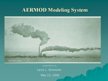
AERMOD Modeling System
Description:
... the need for simple, intermediate and complex terrain receptor post-processing ... Reduces Short - Term Property Line / Fence Line impacts from 0 to 30 percent ... – PowerPoint PPT presentation
Number of Views:235
Avg rating:3.0/5.0
Title: AERMOD Modeling System
1
AERMOD Modeling System
Photo Ralph Turcotte
presentation by
Larry L. Simmons
May 23, 2006
2
(No Transcript)
3
(No Transcript)
4
(No Transcript)
5
Implementation Schedule
6
Why AERMOD ?
- AERMOD implements a sophisticated terrain impact
solution that eliminates the need for simple,
intermediate and complex terrain receptor
post-processing - AERMOD implements the PRIME building downwash
procedure as its default downwash configuration
7
What is AERMOD System ?
- AERMAP Terrain processor for receptor
definition - AERMET Meteorological Data Processor
- AERMOD Full Dispersion Model
- AERSCREEN Screening Model
8
AERMAP
- Utilizes USGS 7.5 Minute DEM files
- Calculates an elevation for each receptor
- Calculates a terrain streamline function for each
receptor
9
Example Terrain Problem
10
Example Terrain Problem
11
Example Receptor File
12
AERMET Tower Data
13
AERMET SODAR Data
14
AERSURFACE Example
15
AERMET Profile
16
My Experience with AERMOD
- Reduces Short - Term Property Line / Fence Line
impacts from 0 to 30 percent - Increases Long Term Property Line / Fence Line
impacts from 0 to 15 percent - Reduces elevated terrain receptor impacts
significantly
17
Further Development
- AERSURFACE release to public this spring
- AERSCREEN release to public this spring
- Debug Debug Debug .............


