
Interactive Mapping Resources - PowerPoint PPT Presentation
1 / 10
Title:
Interactive Mapping Resources
Description:
Internet-Based Mapping Resources. Map & Data Portal. ... Users can map data by a City address or by selected geography and display census ... – PowerPoint PPT presentation
Number of Views:68
Avg rating:3.0/5.0
Title: Interactive Mapping Resources
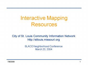
1
Interactive Mapping Resources
- City of St. Louis Community Information Network
- http//stlouis.missouri.org
- SLACO Neighborhood Conference
- March 20, 2004
2
Internet-Based Mapping Resources
- Map Data Portal. The Maps Data section of
the Community Information Network (CIN) web site,
serves as an interactive website that assembles
and maps census 2000 data that can be used in
neighborhood research by residents, community
leaders, businesses and government. Users can
map data by a City address or by selected
geography and display census variables, point
data, and geographic boundaries. - Web address - l/
Community Environmental Resource System (CERP).
This project is a joint initiative with the
East-West Gateway Coordinating Council to develop
an environmental monitoring on-line mapping
system. Maps and data for vacant buildings,
lead, illegal dumping, and brownfields are
available for the City of St. Louis and the City
of East St. Louis. Web address
-
Map St. Louis History. This is also known as
the Mound City of the Mississippi web site.
This is a joint effort with the Planning and
Urban Design Agencys Cultural Resources Office
and Research Division. The site chronicles the
history of St. Louis back from the 1700s to
present times. Users can use the interactive map
to located historic assets. Web address -
3
The Map and Data Portal
- http//stlcin.missouri.org/mapportal
- The Maps Data section of the Community
Information Network (CIN) web site, serves as an
interactive website that assembles and maps
census 2000 data that can be used in neighborhood
research by residents, community leaders,
businesses and government. - A user can search Data by a City address or by a
selected geography.
4
Uses of Census Data
- Spotting neighborhood trends
- Decision-making
- Neighborhood planning
- Forecasting future housing needs
- Designing public safety strategies
- Identifying areas of need
- Setting community goals
- Comparing needs between neighborhoods
- Historical research
- Attracting new businesses
- Preparing grant applications
5
Search by address or geography
6
Search by address Select a radius
7
Select Census Variables or Themes
8
Draw a Map with 2 Themes
9
Generate a Report
10
Sample Searches
- Example 1 Search by geography Citywide
(demonstrates mapping functionalities) - Select geography City wide
- Select Theme 1 Economics Income Median
Household Income - Select Theme 2 Housing Mortgage Status
Housing Units Without a mortgage - Select top quartile 64 -
260 - Example 2 Search by address (demonstrates
radius search) - 4600 Chippewa (corner of Kingshighway and
Chippewa) - select radius 1/2 mile
- Select Theme 1 Education Educational
Attainment Bachelors Degree - Select Theme 2 Economic Household Income in
1999 Median - Select top quartile
33,534 - 61,818 - Select Option A Point Data Libraries
- Select Option B Boundaries Wards
- Example 3 Search by multiple geographies
(demonstrates report generation) - Select Garden District Neighborhoods Tiffany,
McRee Town, Southwest Garden, Shaw - Generate Sample report Year Housing Built
Recommended
CrystalGraphics Presentations


